


Los Quetzales Trail
The Los Quetzales Trail is a popular hiking trail that links Boquete with Cerro Punta and passes through the Barú Volcano National Park. The trail takes about 6 hours to hike and can be completed in a day.
The Los Quetzales Trail is well maintained and can be hiked in either direction—from Boquete to Cerro Punta or from Cerro Punta to Boquete. The hike from Boquete is mostly uphill, while the route from Cerro Punta is downhill nearly all the way. The best choice of direction will depend upon your fitness level and knee stability. Some people prefer to coast downhill while others favor slow ascents.
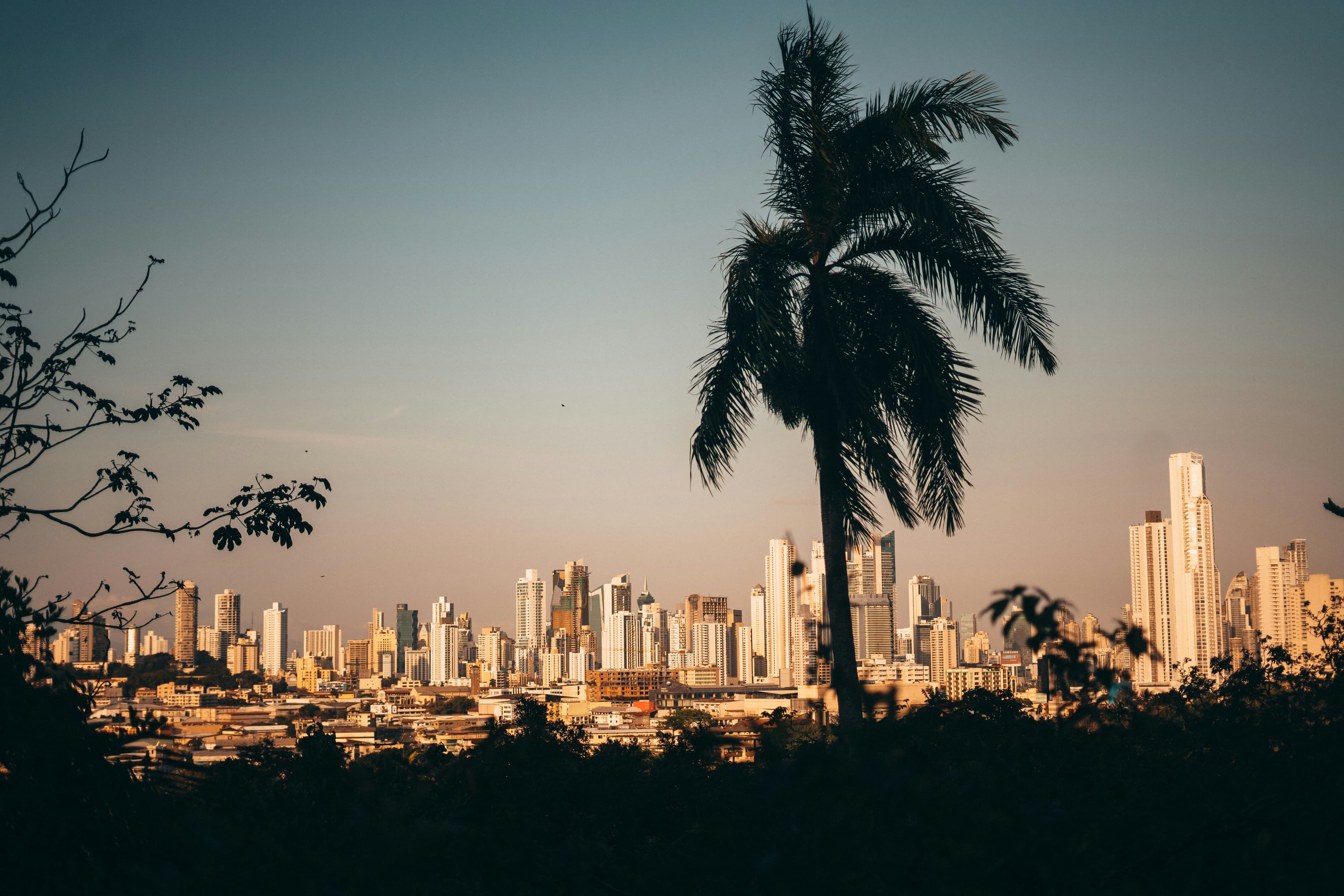
Either way it’s a gorgeous hike. The changing elevation corresponds to different life zones and landscapes—along the way you’ll cruise through cloud forests and bamboo woodland, crystal-clear streams and green pastures. The trail doesn’t actually ascend to the top of the Barú Volcano, but rather skirts its side. You’re likely to see birds and other small critters along the way, but despite the trail’s name you’ll need to be darn lucky to see a quetzal.
The Los Quetzales Trail has fairly good signage and can be hiked on your own. That said, it’s still usually best to go with a guide—you’ll see more animals and will be certain to not get lost.
The hike runs from the Alto Chiquero ranger station along the Boquete side to the El Respingo ranger station on the Cerro Punta side. This takes most people 5 to 6 hours. Remember, however, that both ranger stations are a good distance from either town. Driving to them will add to the total time.
The trail can see cool temperatures and sometimes rain, so be sure to bring pants and a waterproof jacket. A first aid kit is a must.
Where to stay in Los Quetzales Trail
From boutique lodges to luxury resorts, every Los Quetzales Trail accommodation is hand-picked by our local insiders for location, comfort, and character.
Valle Escondido Resort
Nestled in the rolling highlands of western Panama, Valle Escondido Resort occupies a tranquil valley just a short drive from the town of Boquete. The property sits at an elevation of roughly 1,200 metres, where the climate is cool and the air carries the faint scent of coffee blossoms. Its address places it within easy reach of the region’s most frequented attractions while still feeling removed from the bustle of the town centre.
The Riverside Inn
The Riverside Inn is set along the shores of the Río Palo Alto in Boquete. With just six luxurious rooms, this hotel is small and intimate.
Boquete Tree Trek Mountain Resort
The Boquete Tree Trek Mountain Resort is set in the highlands above Boquete. The resort has log cabins that are rustic and comfortable, as well as its own onsite canopy tour. It’s a great place to enjoy the outdoor lifestyle of Boquete.
Hotel Panamonte
The Hotel Panamonte is located in the highlands of Boquete. The hotel opened in 1914 but has undergone extensive renovations. It’s a comfortable and attractive place to stay.

Insider-led Panama Design & Concierge
Your insider team designs the trip around what you care about, then supports you in-country with private logistics, vetted partners, and concierge help when plans change.
Get StartedPrivate drivers; English-speaking available.
Avoid the crowds in private day tours.
Better stays, better pacing, better reservations.
Insider-only experiences and exclusive local partners.
24/7 in-country support by phone, text, and WhatsApp.
Insider-led Panama Design & Concierge
Your insider team designs the trip around what you care about, then supports you in-country with private logistics, vetted partners, and concierge help when plans change.
Real Voices, Real Benefits
We believe travel is more than ticking destinations off a list, it's about discovering new places deeply, feeling connected wherever you go, and knowing you have a trusted team of local experts behind you every step of the way.