
What Is The Landscape of Rwanda Like?
Known as "le pays des mille collines" (the land of a thousand hills), Rwanda features a remarkably varied landscape of rolling highlands, volcanic mountains, lakes, and savannahs. The entire country sits at high altitude, with elevations ranging from 950 to 4,507 meters.
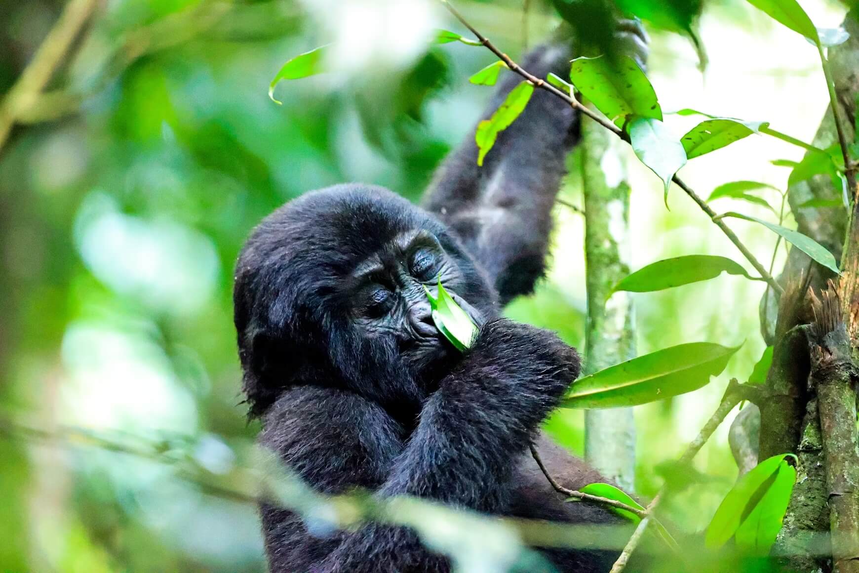
The northwestern region is dominated by the Virunga volcanic mountain chain, home to Volcanoes National Park and its famous mountain gorillas. Five of the eight Virunga volcanoes lie within Rwanda, including Mount Karisimbi, the country's highest peak at 4,507 meters.
The central plateau forms the heart of Rwanda, characterized by the endless rolling hills that give the country its nickname. This fertile agricultural region is covered in terraced hillsides, banana groves, and tea and coffee plantations.
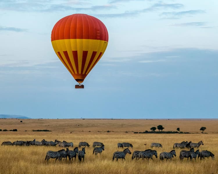
The southwest contains Nyungwe Forest National Park, one of Africa's oldest and most biodiverse rainforests. In contrast, the eastern region flattens into the warmer, drier savannahs of Akagera National Park, where classic African wildlife roams landscapes of lakes, swamps, and grasslands.
Lake Kivu, one of Africa's Great Lakes and among the world's deepest, stretches along Rwanda's western border, offering scenic lakeside retreats and water-based activities.
Related Questions
- Where Is Rwanda?
- How Big Is Rwanda?
- What Is The Weather Like In Rwanda?
- What Time Zone Is Rwanda In?
- When Is The Best Time To Visit Rwanda?
Insider-led Rwanda Design & Concierge
Your insider team designs the trip around what you care about, then supports you in-country with private logistics, vetted partners, and concierge help when plans change.