
What Is The Landscape of Uganda Like?
Uganda's landscape is extraordinarily varied, encompassing snow-capped mountains, dense rainforests, vast savannas, and numerous lakes and rivers. This diversity supports remarkable biodiversity and creates distinct experiences across different regions.
The Rwenzori Mountains, also known as the "Mountains of the Moon," rise along the western border to heights exceeding 5,000 meters. These equatorial mountains feature unique alpine vegetation and permanent glaciers, offering challenging trekking for adventurous travelers.
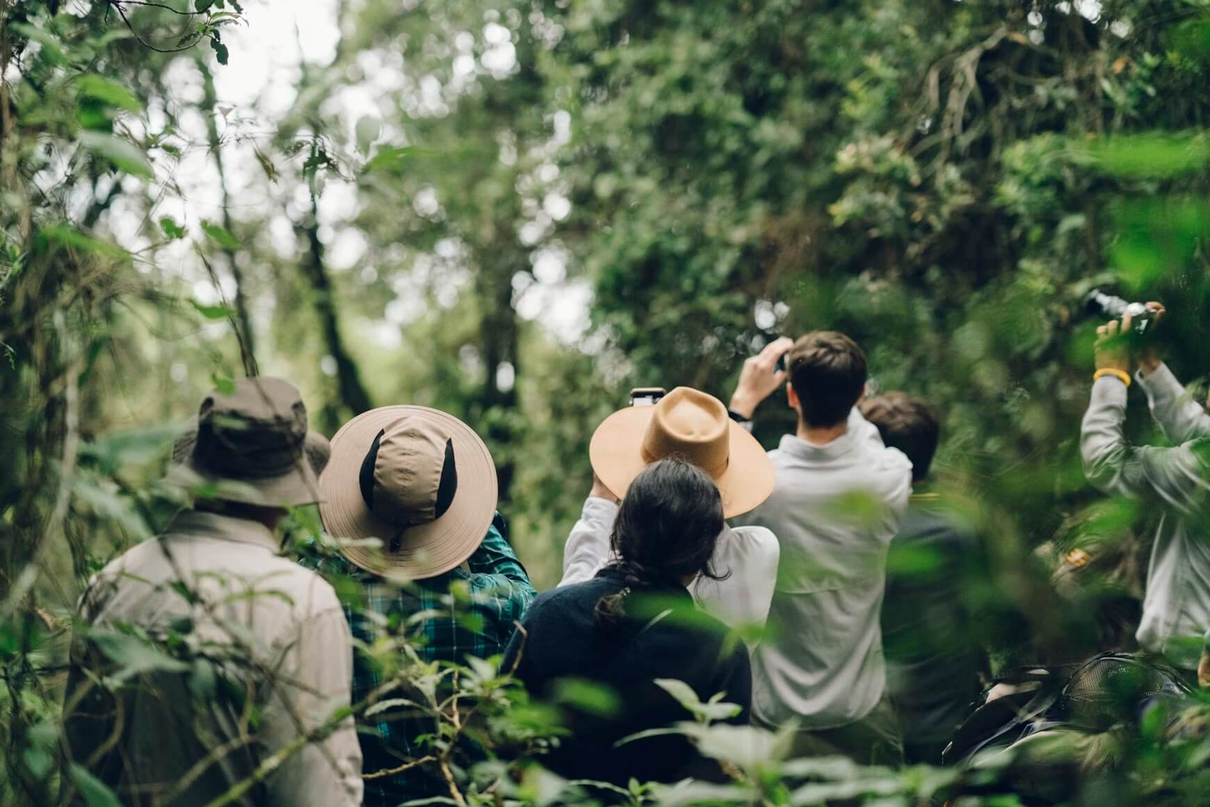
Southwestern Uganda contains dense montane rainforests, including the famous Bwindi Impenetrable Forest. These mist-shrouded highlands provide habitat for mountain gorillas and countless other species. The terrain is steep and rugged, requiring good physical fitness for gorilla trekking.
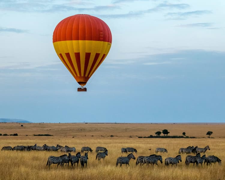
Northern Uganda features drier savanna landscapes, exemplified by Murchison Falls and Kidepo Valley national parks. Here, open grasslands and woodlands support classic African wildlife including elephants, lions, giraffes, and buffalo. The Nile River flows through Murchison Falls, creating a spectacular cascade.
Central Uganda consists of rolling hills, agricultural lands, and numerous lakes and wetlands. Lake Victoria dominates the southeast, while smaller lakes and papyrus swamps provide important wildlife habitat.
Related Questions
- What Is The Weather Like In Uganda?
- What Time Is It In Uganda?
- Is It Easy To Get a Sunburn In Uganda?
- Where Is Uganda?
- How Big Is Uganda?
- When Is The Best Time To Visit Uganda?
Insider-led Uganda Design & Concierge
Your insider team designs the trip around what you care about, then supports you in-country with private logistics, vetted partners, and concierge help when plans change.